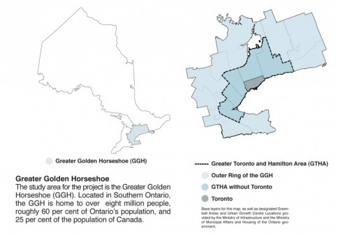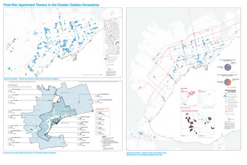
The Greater Golden Horseshoe is unique globally for its pattern of urbanization due to the proliferation of post-war apartment towers throughout the region.
In 2009 ERA Architects and planningAlliance (the founding partners of CUG+R) as well as the Cities Centre at the University of Toronto, were commissioned by the Ontario Growth Secretariat, in the Ministry of Infrastructure, to analyze this housing resource and examine its future role in our growing region.
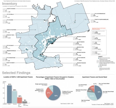
The study examined and catalogued the 1,925 Apartment Towers developed in the post war boom (between 1945 and 1984) as well as an additional 1,155 lower rise apartment (5-7 storeys) of the same time period. Together, these post-war apartments contain 496,591 units and make up 17% of all housing in the region, 20% of all housing in the Greater Toronto and Hamilton Area, and nearly a third of all housing in the City of Toronto. The study examines the current condition of this housing resource, and the neighbourhoods they form, throughout the Greater Golden Horseshoe.
The study then explored the potential for reengaging these Towers through a process of neighbourhood renewal to support the realization of provincial priorities including the implementation of the Growth Plan for the Greater Golden Horseshoe, creating a network of regional rapid transit, conserving energy, reducing greenhouse gas production, reducing poverty, providing affordable housing, and building a green economy.
Findings of this research initiative have been published as the report Tower Neighbourhood Renewal in the Greater Golden Horseshoe: An Analysis of High-Rise Apartment Tower Neighbourhoods Developed in the Post-War Boom (1945-1984), was published in late 2010, available here for download.
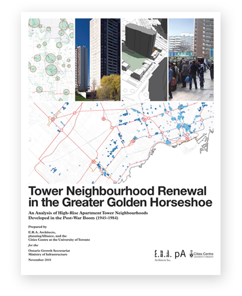


This report is reproduced here with permission from the Government of Ontario, © Queen’s Printer for Ontario, 2010.

The following sections are available for download:
Section 1 and 2: Purpose and Approach, Introduction [11MB]
- 3.1: 1,925 Apartment Towers [1MB]
- 3.2: Location [17MB]
- 3.3: Clusters [20MB]
- 3.4: Large Properties [10MB]
- 3.5: Rental Housing [2MB]
- 3.6: Social Need [16MB]
- 3.7: Transportation [2MB]
- 3.8: Greenhouse Gas Production [1MB]
- 4.1: Supporting Regional Transit Investment and Alternative Transportation Modes [19MB]
- 4.2: Supporting Poverty Reduction [17MB]
- 4.3: Supporting the Reduction of Greenhouse Gas Emissions [20MB]
- 4.4: Supporting the Creation of Complete Communities Through Mixed-Use Infill and Intensification [18MB]
Section 5: Selected International Case Studies [4MB]
Section 6: Challenges and Next Steps [2MB]
Conclusion [2MB]
Appendix A: Mapping Tower Neighbourhood Renewal in the Greater Golden Horseshoe [1MB]
Appendix B: Technical Appendices, Detailed Findings and Geographic Information System Report [22MB]
Image Credits [1MB]

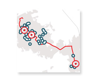
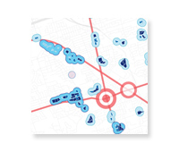
Apartment Towers and Regional Policy: Growth Plan, Greenbelt, and Regional Rapid Transit
[Greater Golden Horseshoe]
[Greater Toronto and Hamilton Area]
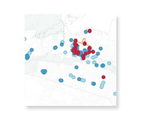
Apartment Tower Height and Distribution
[Greater Golden Horseshoe]
[Greater Toronto and Hamilton Area]
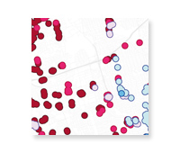
Apartment Towers and Social Need
[Greater Golden Horseshoe]
[Greater Toronto and Hamilton Area]
Data and mapping excerpt from report
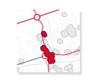
Large Apartment Clusters with High Potential for Transit Investment
[Greater Golden Horseshoe]
[Greater Toronto and Hamilton Area]
Data and mapping excerpt from report
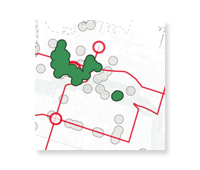
Large Apartment Clusters with High Potential for Social Investment
[Greater Golden Horseshoe]
[Greater Toronto and Hamilton Area]
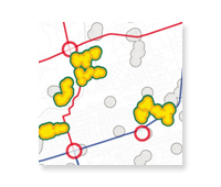
Large Apartment Clusters with High Potential for Greenhouse Gas Reductions
[Greater Golden Horseshoe]
[Greater Toronto and Hamilton Area]
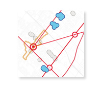
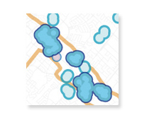
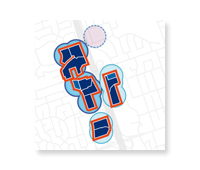
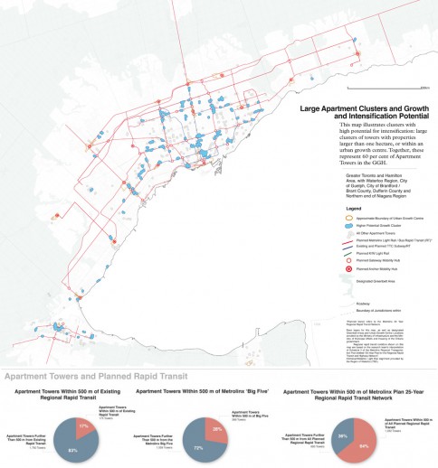
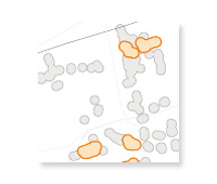
Large Apartment Clusters with High Potential for Growth and Mixed-use Intensification
[Greater Golden Horseshoe]
[Greater Toronto and Hamilton Area]
Excerpt of images from report
Apartment Clusters, Properties and Planned Rapid Transit
Download Mapping Highlights Compilation [5MB]
Download Map Sequence from Appendix A [1MB]
All sections of this report are reproduced here with permission from the Government of Ontario, © Queen’s Printer for Ontario, 2010.

This report was prepared by ERA Architects, planningAlliance and the University of Toronto Cities Centre for the Ontario Growth Secretariat at the Ministry of Infrastructure.
The lead authors of this study are Graeme Stewart of ERA Architects and Jason Thorne of planningAlliance.
Graeme Stewart, Associate
ERA Architects
Email: graemes@era.on.ca
Phone: 416.963.4497 x 261
Jason Thorne, Principal
planningAlliance
Email: jthorne@planningalliance.ca
Phone: 416.593.6499 x 340
Additional support was provided by Brendan Stewart, William MacIvor, Joey Giaimo, Virginia Fernandez, Janice Quieta and Sharon Hong of ERA Architects; Jeff Lamb, Kelly Doran, Paul Kulig, Drew Sinclair and Rei Tasaka of planningAlliance; as well as Danielle Berger, Martin Danyluk, Steven Korchinos, Annya Chanda and Shimi Lijuan Zang of the University of Toronto Cities Centre.
Members of the Research Steering Committee included Michael McClelland of ERA Architects, John van Nostrand of planningAlliance, and Eric Miller and George Baird of the University of Toronto Cities Centre.
Additional research support was provided by David Hulchanski and Richard Maaranen of the University of Toronto Cities Centre.

The primary data source for characterizing and analysing the target building stock was 2006 Municipal Property Assessment Corporation (MPAC) data. MPAC data is used for property assessment purposes by the Ontario government and is the most up-to-date inventory of buildings in the Province. Because the precise characteristics of Apartment Towers, as defined for this study, do not relate to a single MPAC building-type code, a series of MPAC codes were selected that generally captured all buildings over eight storeys that include a residential component. A secondary process of visual confirmation was used to verify the buildings that met the initial criteria, as well as identify towers that were missed due to missing or incorrect data in the MPAC inventory.
Other key data sources for primary research included the 2006 Transportation Tomorrow Survey (e.g, transit use, trip lengths and auto ownership) and the 2006 Census for information related to social need and demographics in Apartment Towers. Additional information related to the housing stock was gained through Canada Mortgage and Housing Corporation housing start data.
Supplementary information included relevant provincial policy documents, as well as local and international case studies related to tower refurbishment.
To investigate linkages with areas of provincial policy interest, the study team conducted a series of interviews in December 2009 and January 2010 and a workshop in June 2010 with staff from the ministries of Transportation, Infrastructure, Energy, Municipal Affairs and Housing, Finance, the Ontario Financing Authority and Metrolinx. Staff from the Ministry of the Environment were also consulted.
A detailed description of the study methodology is available in the Technical Appendices.


